

Day six of this Drakensberg Grand Traverse begins with a dawn climb to catch the sunrise from the highest point in South Africa and finishes with a sunset from Giant's castle, the fifth of the six summits on the route. Authored by Robert Lorriman and photographed by Pall Catt.
22 October – Wednesday – Day six
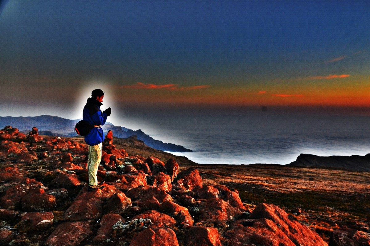
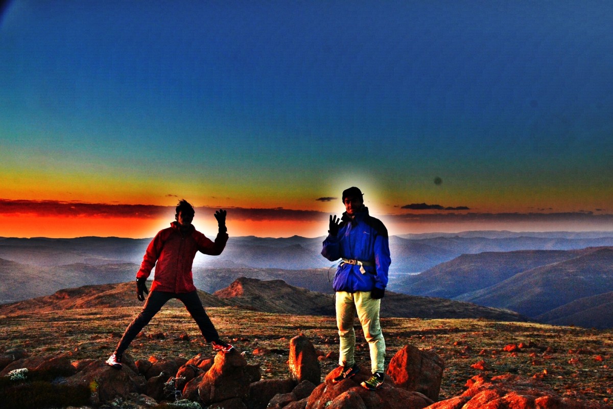
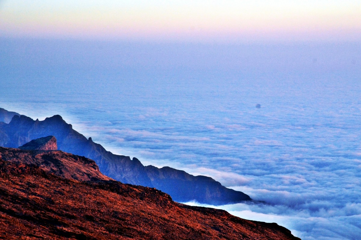
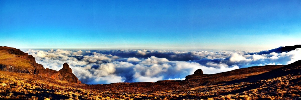
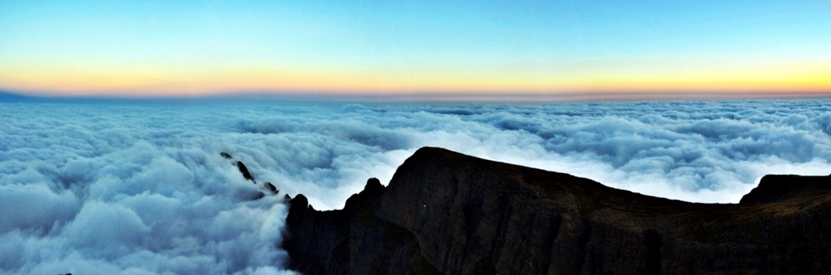
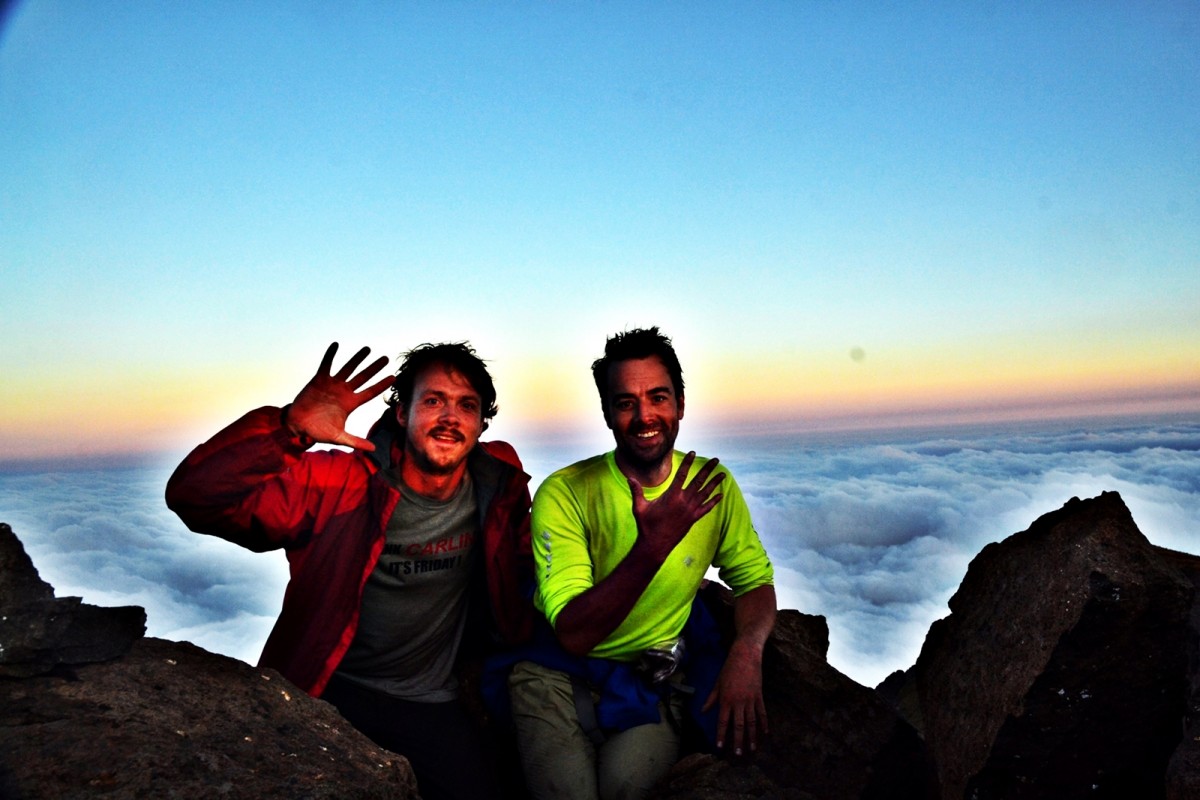
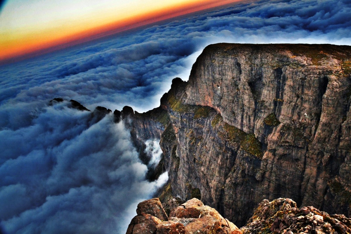
At 04h30, we were up and without any of the usual foot admin we set out on the short distance to summit Mafadi proper before sunrise. The view was spectacular over the pink tinged sea of cloud. We watched as the sun pushed rapidly above the eastern horizon to reflect off the cloud enshrouding South Africa and reveal the landscape of the escarpment. The soft pastels of dawn transformed to the distinct shadows and bright surfaces of morning. The sun’s heat instantly banished the cold of the night. I almost managed to send a way point from my GPS app but was thwarted by a lack of battery power. I had woken up with a puffy face which is one of the milder symptoms of altitude sickness. My face returned to normal as we descended on our route.
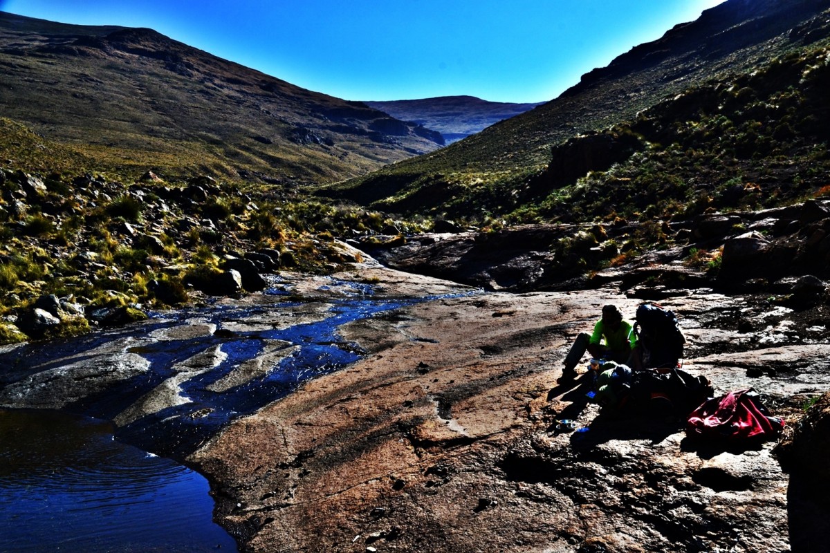
We returned to pack our kit, half expecting to see a Basotho or two tucking into protein shakes and oats. We descended the 400m head of the valley. This was one of the steepest and longest descents of the Traverse. We were expecting a tough time. Miraculously, after around 100m of only relatively tough going we were soon on a path which took us smoothly to the valley bottom. Even before reaching relatively flat ground we were encountering the characteristic stone rondavels with their rudimentary straw thatched rooves. We found a secluded spot and decided to exploit the opportunity to have a Basotho free breakfast. Fast broken, we filled water bladders and set off at the absolutely consistent time of 08h50.
We set off down the Mahlabachanend Valley under the beating sun. The going was excellent. The well-trodden path curved in opposition to the meanders of the river, marching the most economic route down the length of the valley. Off-shoots from the primary path grew like tentacles up the hillsides. These tributaries branched off initially at slight angles, serving to confuse the unwary traveller, before turning uphill to accelerate young herdsmen and their flocks to higher pasture. Much of the valley bottom was over grazed: the surface bare of grass, red earth exposed and thick with stumpy aromatic sages. These aromatics came in three varieties: a tiny leaved plant with a distinct citrus note, a bigger plant which resembled a sticky leaved rosemary and exuded the same fragrance and another tiny leaved plant with the characteristic smell of Vicks. The warm wafts of lightly scented air made for a more enjoyable passage through the valley.
Soon we turned south east at a junction of three great valleys. Now we were gently climbing up the Jarateng Valley towards our eventual destination of Giant’s Castle. All along the way we had been encouraged by the distant greetings of herdsmen on the slopes and farmers in their simple single rondavel homesteads. Now, taking advantage of one of our short rests, we were joined by a bubbly young herdsman who called himself Tebo. We decided that Tebo represented an opportunity to resolve some of the questions that we had debated about the life of the Basotho. Tebo was subject to a subtle interrogation. We found out that Tebo was in primary school with five other pupils. He tended 50 sheep and 5 cows. His staple food and that of his dogs is pap. Pap is an Afrikaans word for porridge. In South Africa, Pap is eaten by all races. Pap is made from bleached maize meal cooked for an age until it has a clean white almost translucent jelly like appearance. Tebo didn’t respond to our well used, ‘how many years have you?’, replying with a repeated, ‘I do not hear Father’. Both Pall and I were elevated to the status of ‘Father’ in every sentence. We decided it was time to get going and bid our farewells to Tebo. At this point, he summed up the courage to bluntly ask us, ‘Give me money’. We politely declined and moved on throwing loud ‘good byes’ and big waves behind us. During the conversation, another young boy had appeared and had sat down observing about 75m away. We asked Tebo who his friend was and we were surprised to hear the immediate retort, ‘he is not my friend!’ We thought that suitable candidates being in such short supply this was perhaps a little too choosey. It certainly suggested competition and jealousy amongst the young shepherds.
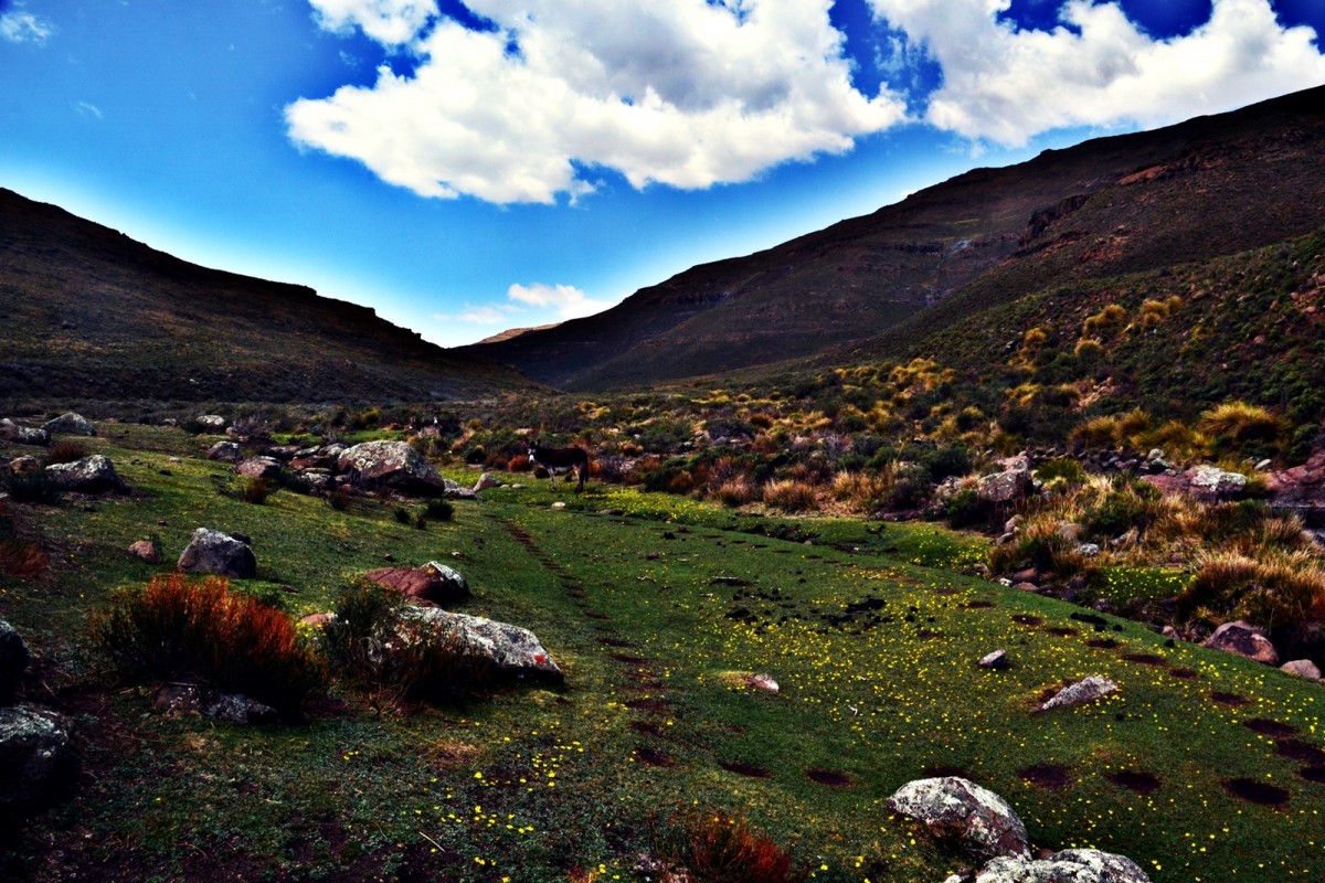
A little further on we passed close by a rondavel occupied by a man in his early to mid-twenties. He wore his hair rasta style like the beachboys you find in tourist spots like Zanzibar. We passed with a shared salutation and rounding his walled paddock we came across another little lawn studded with yellow flowers and this time inhabited by a donkey and her foal. Having deeply regretted missing our last opportunity for the perfect picture we didn’t let this not quite so perfect opportunity pass.
Not far short of our eventual exit from the Jarateng Valley, we were again joined by a young shepherd. He was particularly young and accompanied by a fluffy young puppy of equivalent canine maturity. He spoke no English but patiently sat beside us. When we eventually donned kit and started to continue our journey, he put out his hand and demanded, ‘bonbon?’
By now, we had learnt that ascending stream beds was consistently easier than attempting to go up spurs however gentle the contour spacing might suggest the spur to be. We decided to ignore my planned route via an apparently gently contoured spur, highlighted on the map, and to go instead to the very head of the valley aiming to top out at a saddle about 2km further along the route than planned. This worked well but somehow when re-orientating on the saddle, I managed to focus on the highlighted route and forget our freshly executed revised plan. The features on the ground did not match the incorrect position on the map. The cloud had come up to obscure the shape of the escarpment and despite that golden rule of land navigation: “always trust your compass” ringing in my ears, I had lost faith in my old army silva with the needle currently being chased around the oil by an altitude induced bubble.
Eventually, I realised my error but not before Pall had ditched his rucksack to go on a recce of a large spur which either ended in escarpment cliff or joined on to the feature we were searching for. I felt embarrassed for my mistake and wasting Pall’s energy through extra walking so I donned my bag and hefted Pall’s on top and marched in the direction we wanted to go which was were Pall was. We descended a steep slope and then contoured around a huge spur to the bowl below Giant’s Castle.
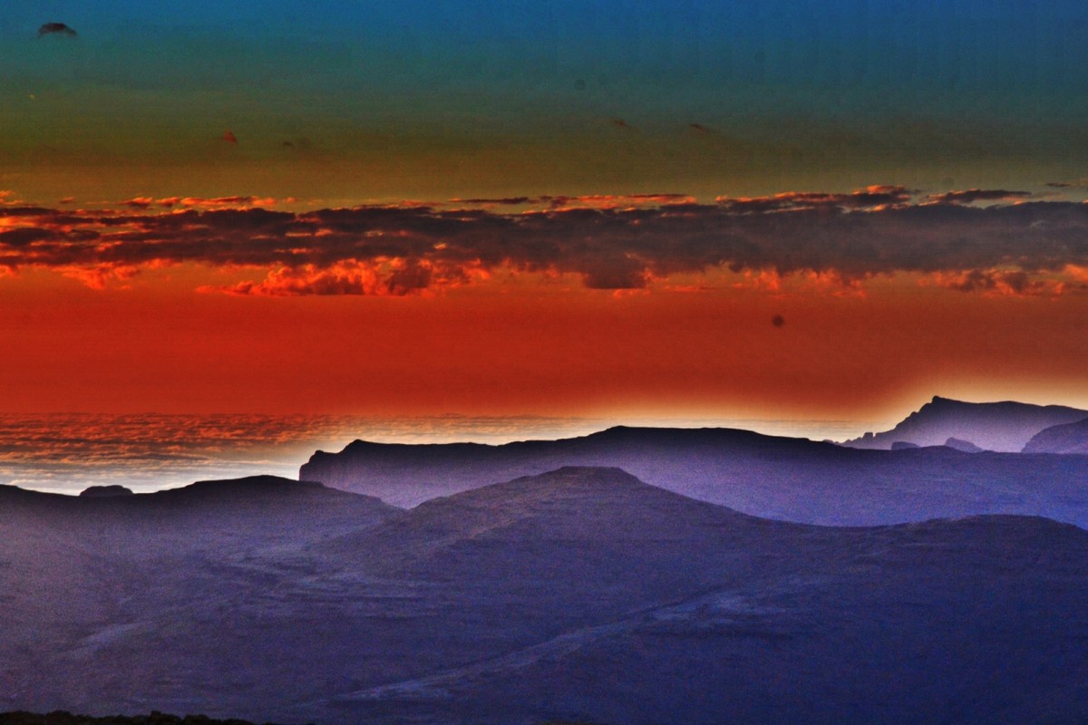
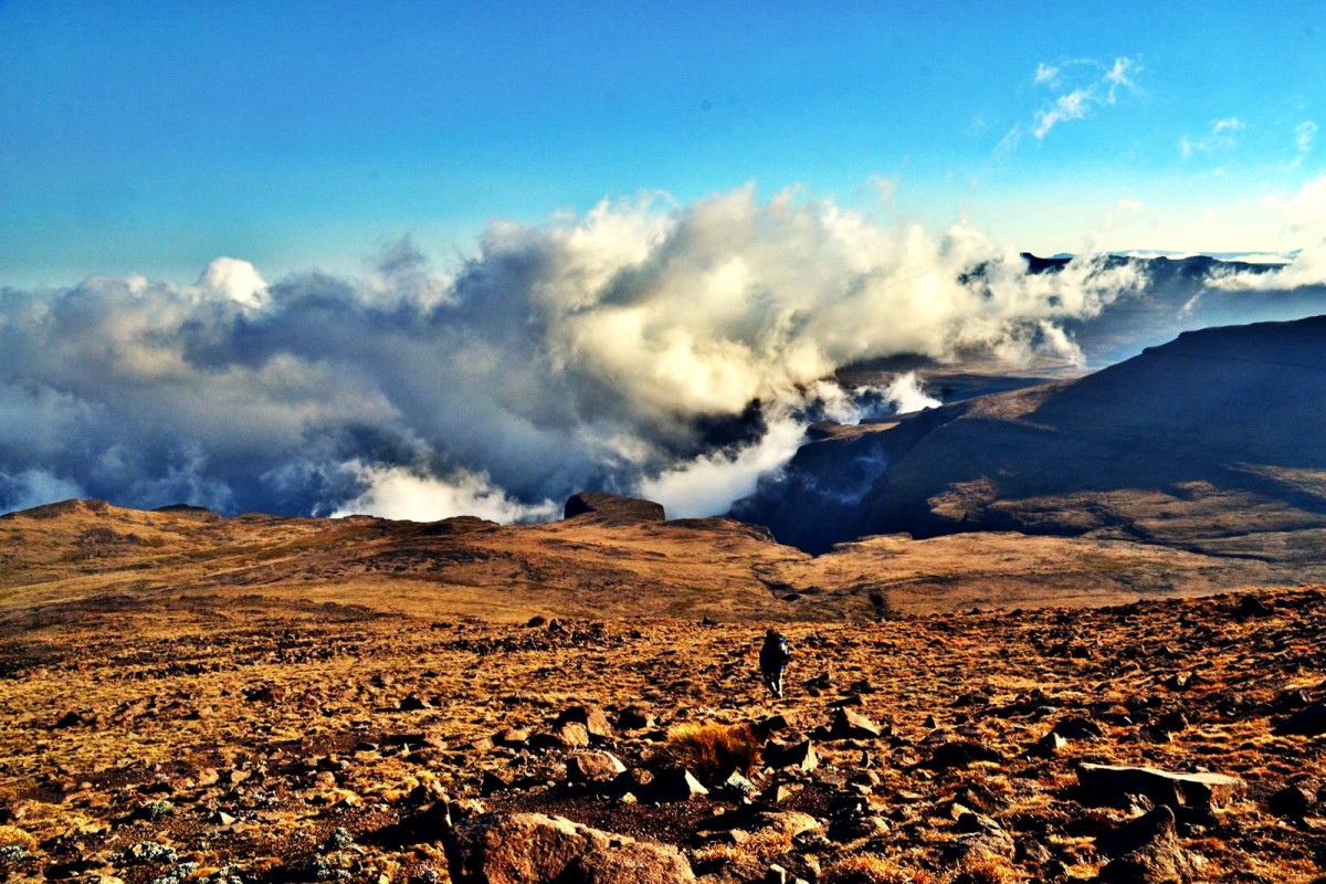
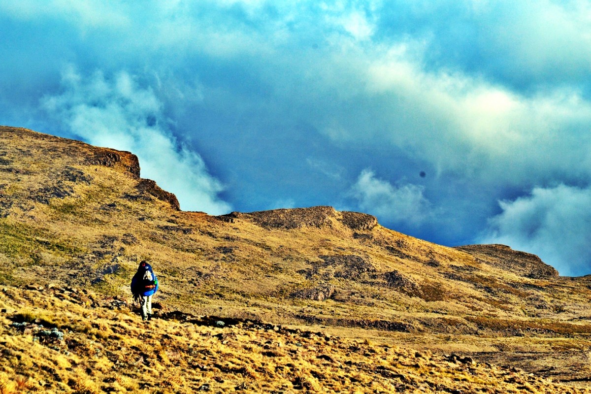
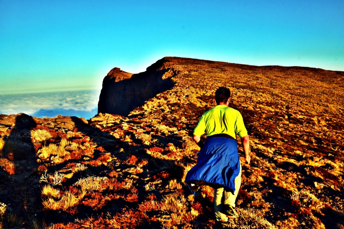
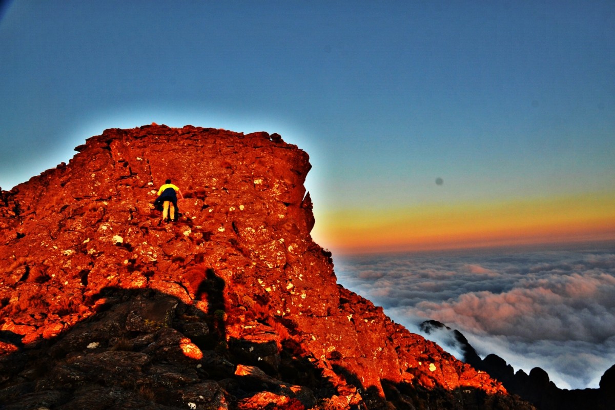
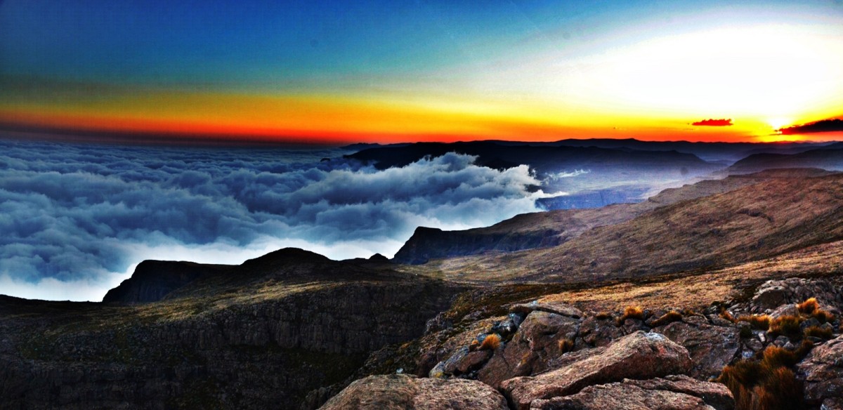
It was now around 17h50. We selected a point to cache our bags. The question was ‘had we run out of daylight?’ After quick deliberation we decided to go for it and set off at a strong pace up the steep difficult slope via a chestnut pony. We reached the peak but realised that we were 1km short of the main peak with very little time before dark. To compound our error we had both left our head torches with our bags. If we were to make it to the top of Giant’s Castle and then have a chance of finding our bags before dark we would have to run across the difficult ridgeline of ragged rocks and clumpy vegetation. Failing to locate our bags could have proved fatal in those conditions. The less risky course was to return to our bags and wait until the next day but the challenge was there: we ran. Our reward was a picture perfect sunset over a sea of low cloud washed up against the escarpment buttresses and cloisters. We didn’t hang around.
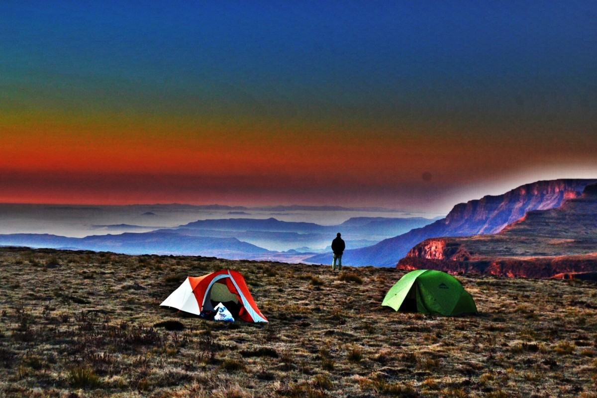
The descent was a little rushed but we arrived safe at our bags as the last of the twilight faded to mountain darkness. Head torches on, we tramped about 2kms towards our next checkpoint and found a perfect campsite overlooking the escarpment edge.
31 km, 11hrs walking.


