
This is the third in a series of posts about the Drakensberg Grand Traverse, reflecting on what was definitely a tough day with lots of wind, big ascents and descents combined with high temperatures and long distance between water sources. Author - Robert Lorriman, Photographer - Pall Catt.
19 October – Sunday – Day three
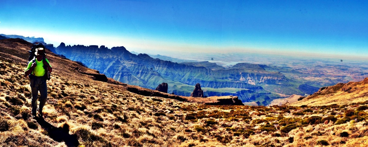
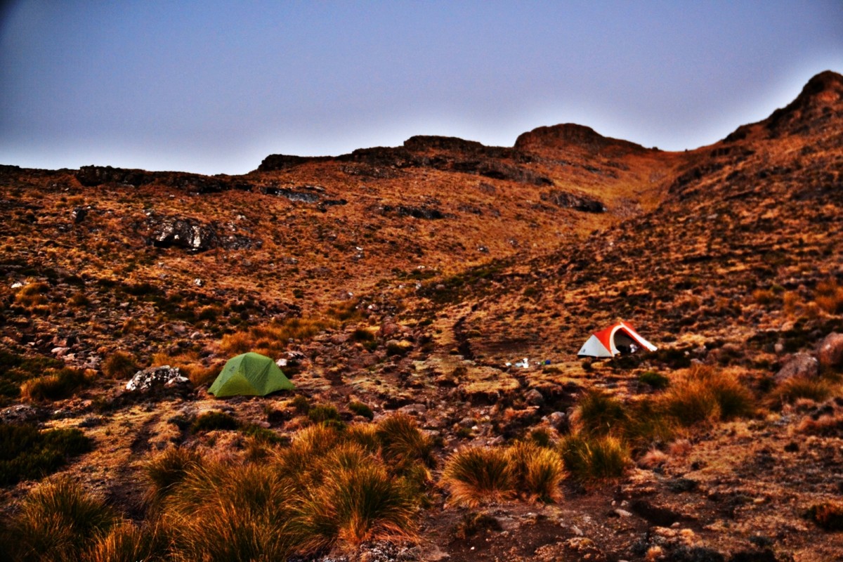
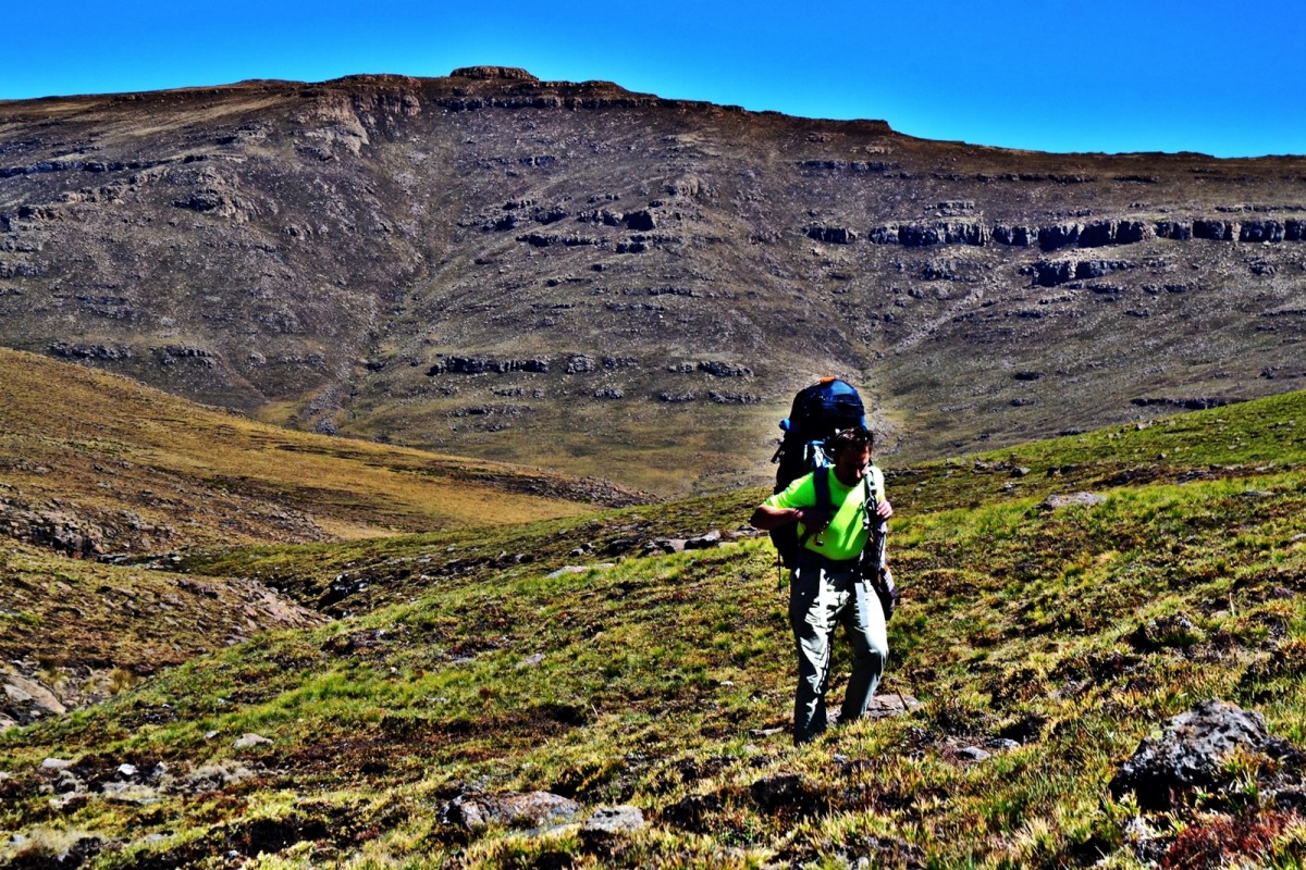
We woke at 05h00. I had set an alarm but it was Sunday and as it was set to weekdays it didn’t sound. The wind had been blowing all night so sleep had been intermittent, repeatedly interrupted by a genuine concern that our tent poles might not be able to withstand the sweeping gusts. Packing tents in the wind was a challenge, collapsing segments and folding them immediately. We set off up the valley, stopping to resupply water before we turned off the main stream. We pushed up the next re-entrant. There was a trickle of water all along, we were aiming to cross a ridge then skirt around a bowl on the escarpment side of Xeni pass. We checked three gaps in the escarpment before we found what we wanted. At the other end of the bowl, we topped the ridge, and there we could see the next valley on our planned route.
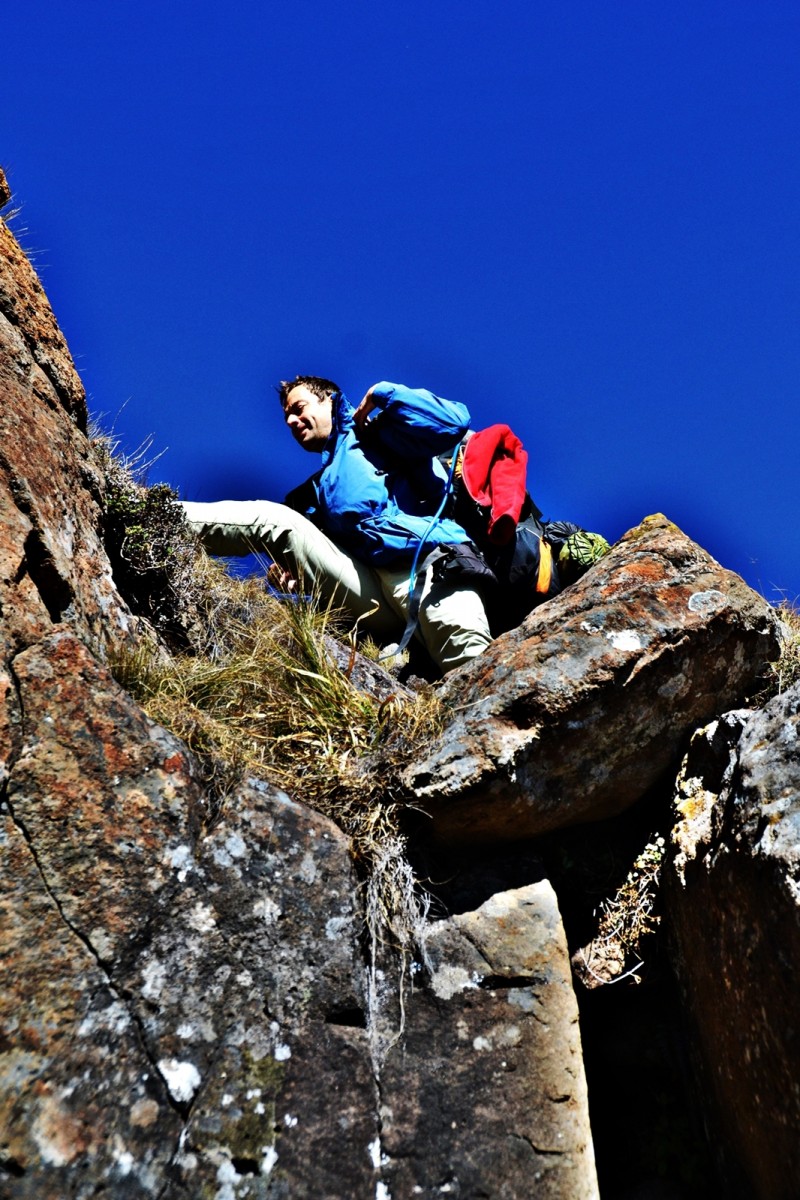
Descending from the ridge we found that our route was blocked by a cliff. We ditched bags and split left and right. To the right was a steep and difficult descent. Pall reported finding a small 1.5m drop to the left. We went left. Pall clambered down the little cliff first and I passed the bags down to him before climbing down.
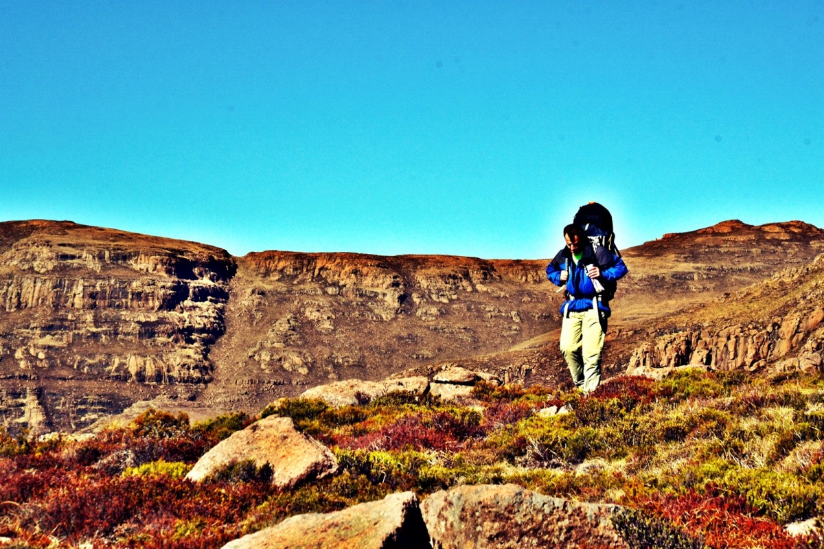
After the cliff we continued, Pall leading. Pall was well in front and I could see he was going low. I thought unnecessarily low. I used the whistle built into one of the buckles on my rucksack. I was whistling against the wind and finally got his attention. I indicated that we should push left. Pall continued but I felt that the message had been passed. I went left contouring slightly around the bowl to not lose height. I went out of sight to Pall on the other side of a low spur. I could see Pall putting his kit down as I reappeared, he seemed to be about to make breakfast. I continued on and dumped my gear a little further on and returned to where I had seen Pall putting down his gear. I noticed that he was up the hill. I called, he heard and returned. He had gone to look for me. I probably should have followed him regardless of his route. We moved up to my kit then went a short way further and made breakfast.
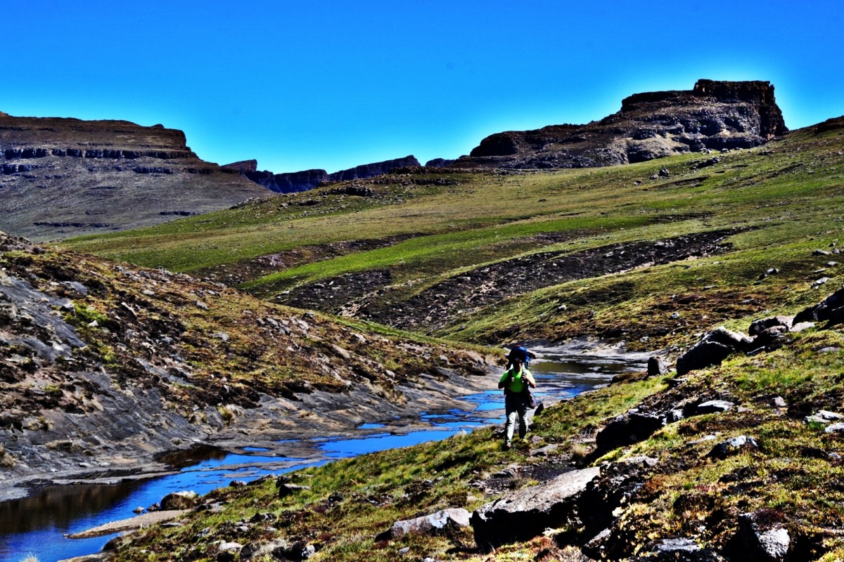

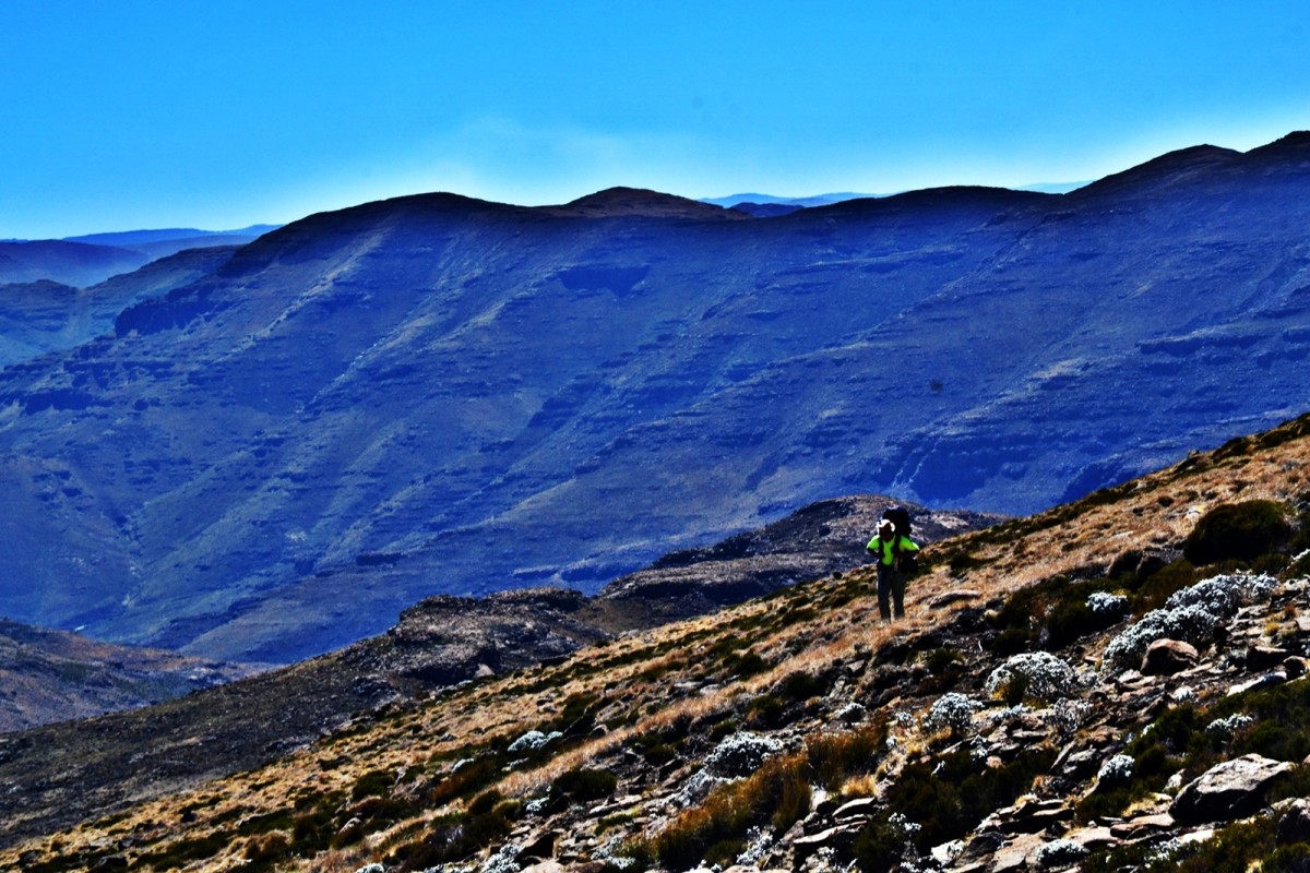
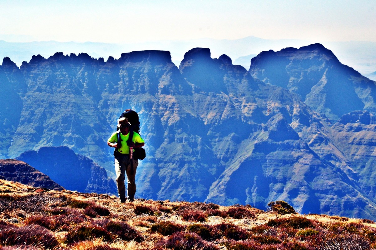
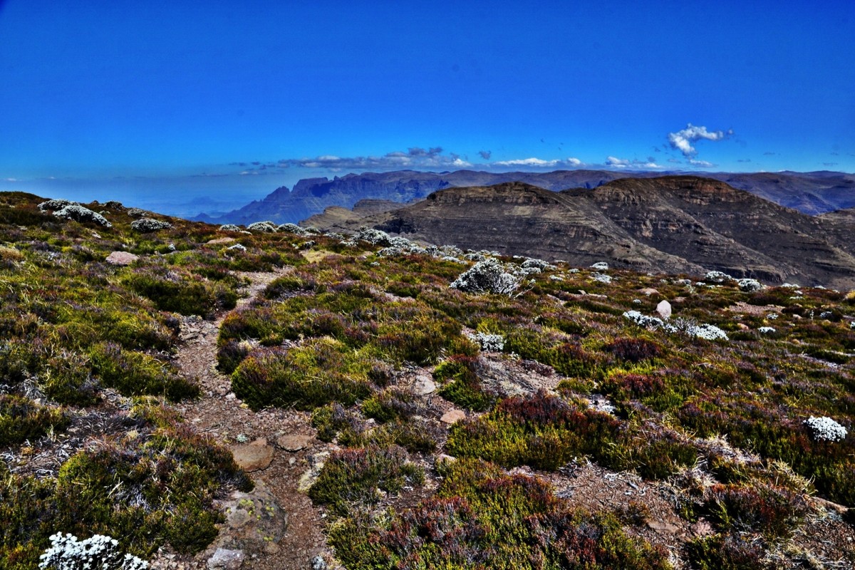
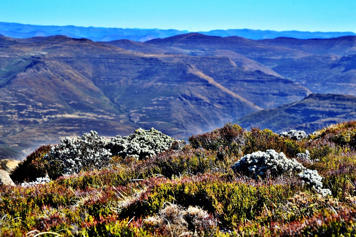
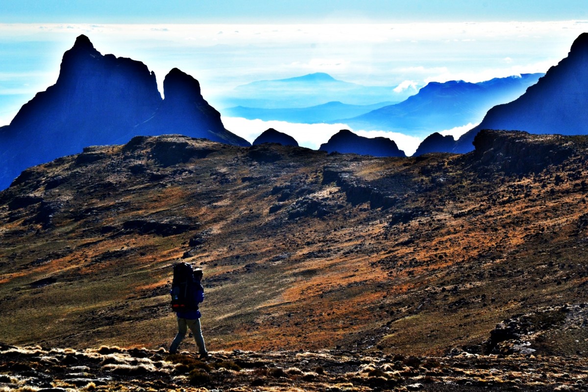
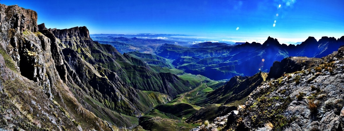
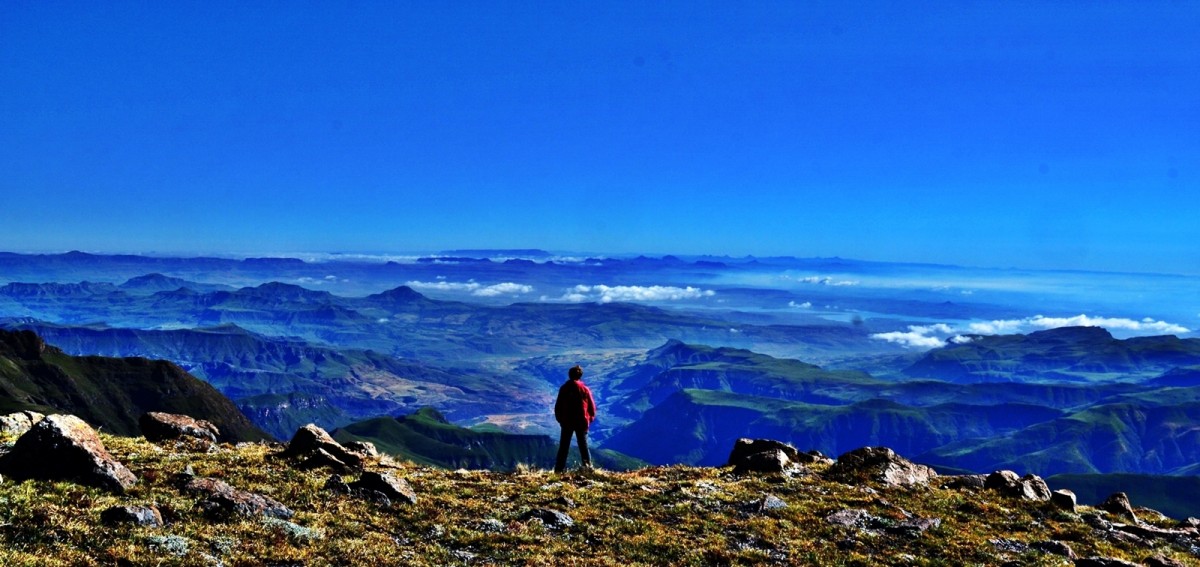
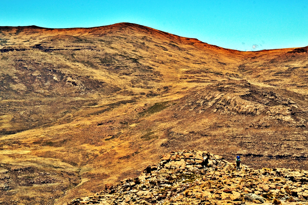
We pushed up the valley at a good pace stopping before the end for a final water fill. I went off to dig a hole. We then pushed over the ridgeline at the end of the valley and along a spur to see our target, Cleft Peak, for the first time. It was clear that there was to be a long descent then hard ascent. We found a path going down the steep spur that we had selected along the escarpment’s edge. We, slowing, eased our ways down. Pall stopped to dig a hole on the steep spur side. I moved ahead. The valley leading to the start of Cleft Peak was full of Basotho Ponies. They whinnied as I approached. I stopped at the foot of Cleft Peak and Pall caught up. We consulted the map, looking for the easiest line of approach then decided to go for it, straight up. We got to the first ridgeline quickly with a strong pull that saw us ascend around 150m in one go. We then pushed around to the actual peak, painfully skirting one false peak after another along the ridgeline.
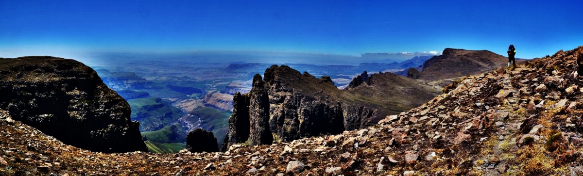
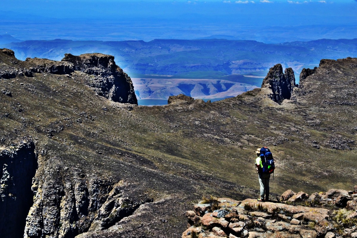
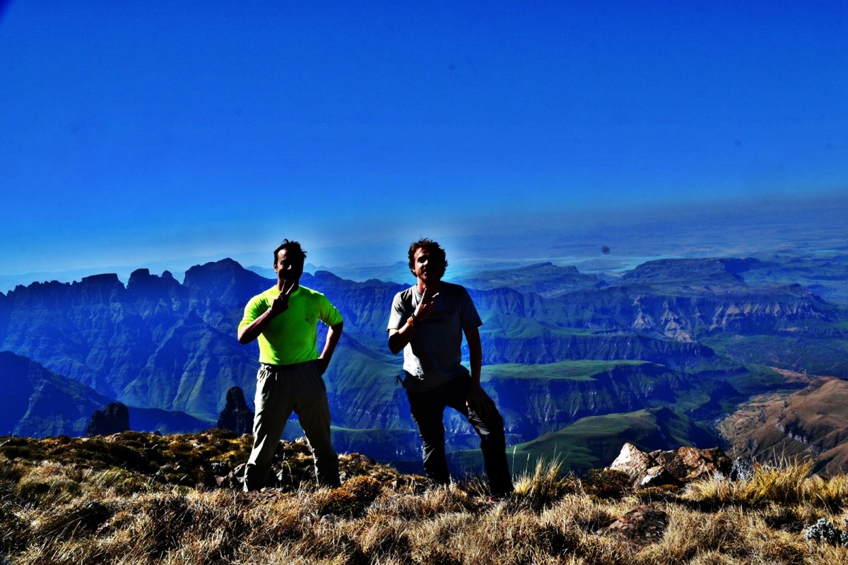
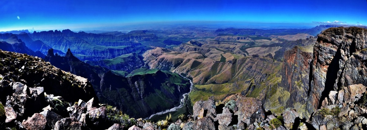
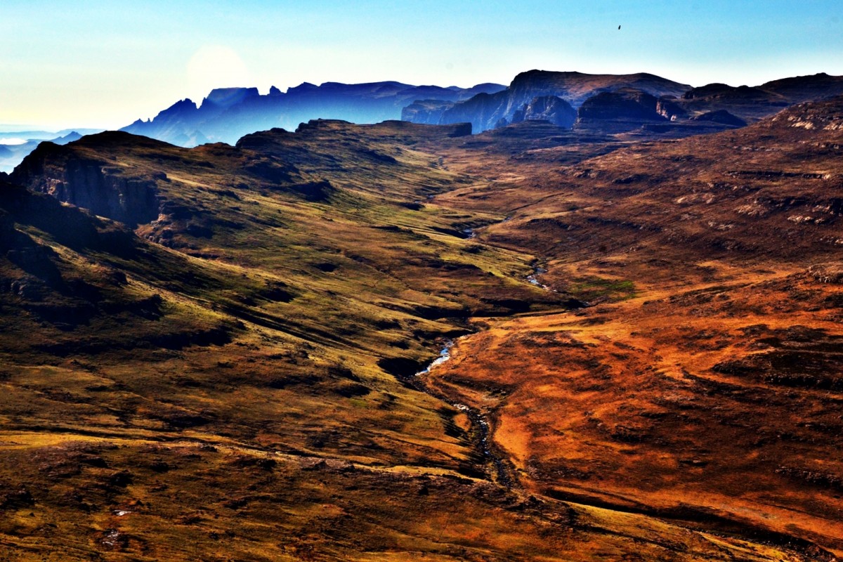
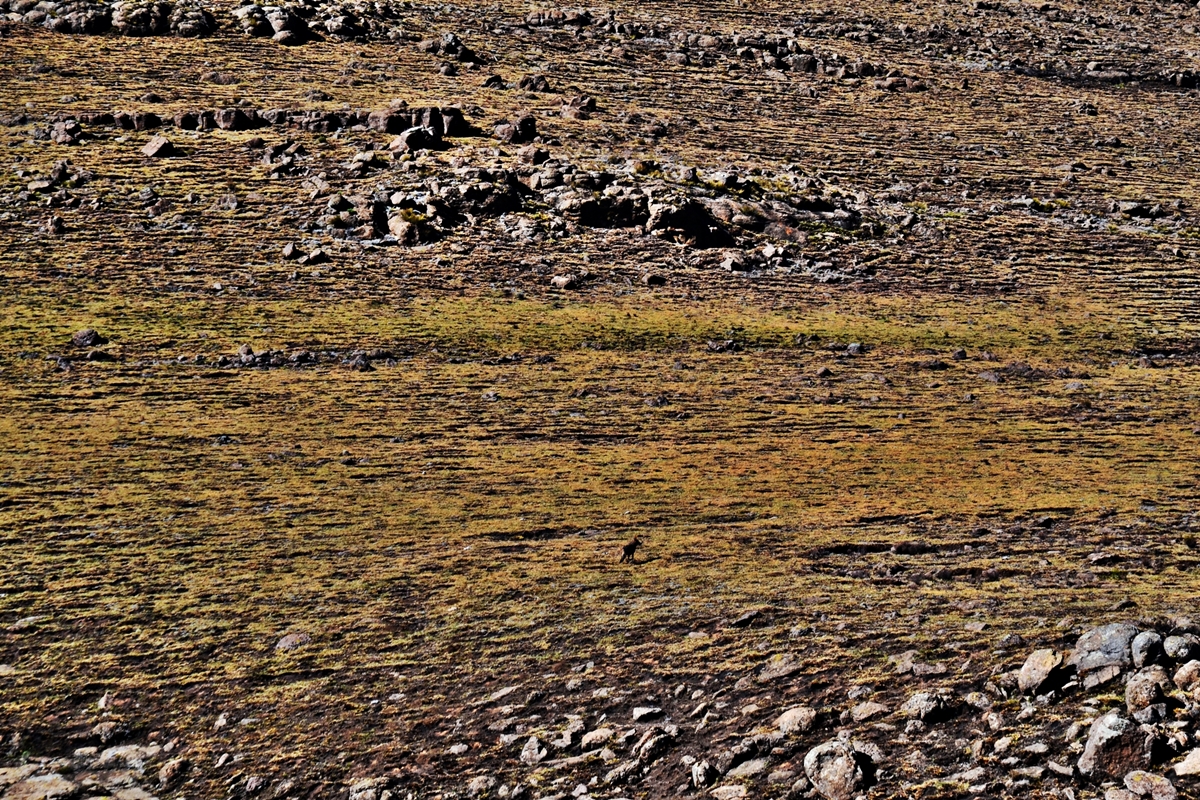
After the obligatory photos, we had lunch, eagerly observed by an enormous raven. We decided to recce the route down without bags. The raven took its cue to swoop ever closer to our bags before finally settling a mere two metres away. I stayed behind to look after the bags as something had eaten some of my biltong when I had previously left my bag to backtrack to Pall. Eventually, we decided to descend a spur that we had passed earlier and then take a valley instead of going over the next big rise. The way would be longer, the decision was due to our main limiting factor: the pain in our feet. The descent was difficult, finally we arrived at the Kakuatsan Valley. From our vantage point it appeared to be an impassable steep sided canyon. It was 17h08 with no obvious camp sites on the map within an hour’s walk, we called it a day. We camped on a slope and watched a Basotho shepherd apparently floating down the hill with his loping walk and flowing cape. He sang to himself as he herded his sheep down the mountain and into the impassable canyon. The sheep seemed to jump unconcerned from clump to clump along the canyon’s edge oblivious to the precipitous slope their guardian followed with equal disregard for the closeness of the cliff.