
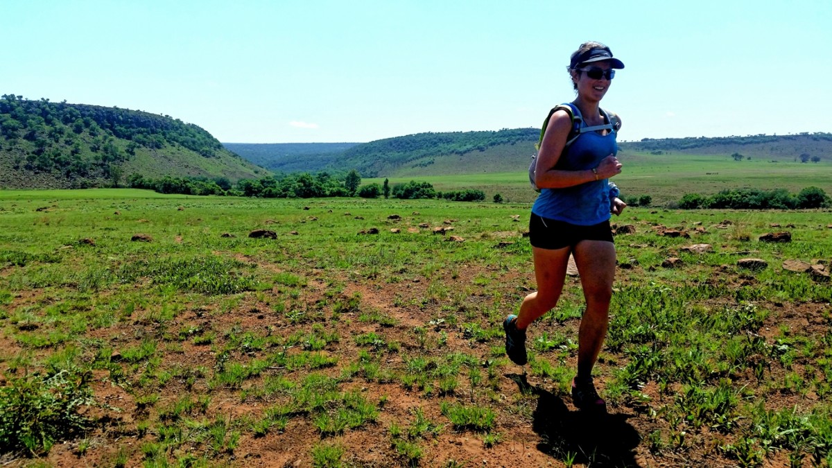
Recently we decided to go on a small adventure to the Ezemvelo Nature Reserve. After hearing so many good things about the routes there, we were all excited to do some exploring.
We arrived at the main gate of Ezemvelo Nature Reserve just past 7am, after roughly an hour's drive (75km) from the Eastern suburbs of Pretoria. The gates only opened at 7am so there is no point going any earlier. The guard at the gate seemed disappointed in having to inform us that the ever-popular Penduka trail had been shut down since that area of the reserve had been closed to public access. We would later discover that road access to that part of the reserve was restricted by way of a boom and so the issue seemed to be that you could not actually park your vehicle close to the Penduka trail, but really there was nothing stopping curious footgoers from traversing down to the river if you were up to the task of trekking the 4 to 5 kilometres from the main camp to the Penduka trailhead. Fortunately, we knew very little about the Penduka trail and weren't particularly affected by this development since we had just come to run whatever trails there were, and while the Penduka trail was apparently a favourite due to it meandering alongside the refreshing rock pools of the Wilge river, there are sufficient alternative trails to keep runners and hikers well entertained.
We made our way to the main camp and at the reception, paid our R50 per person and R25 for the vehicle, obtained a trail map, and then headed for the trails. Three trail options exist, starting with the shortest being the 4km Ochna trail, the 15km Protea being an extension of the Ochna trail, and then the 21km Burkea trail being an even further extension of the Protea trail. All of these trails are circular and start and end near the main camp. We studied the map and decided to improvise and build our own route, since we wanted to also try incorporate some of the Wilge river into our plan.

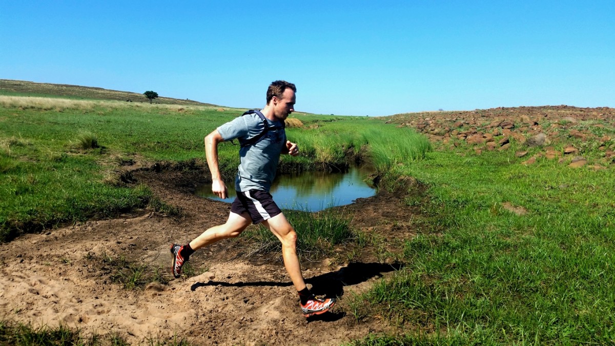
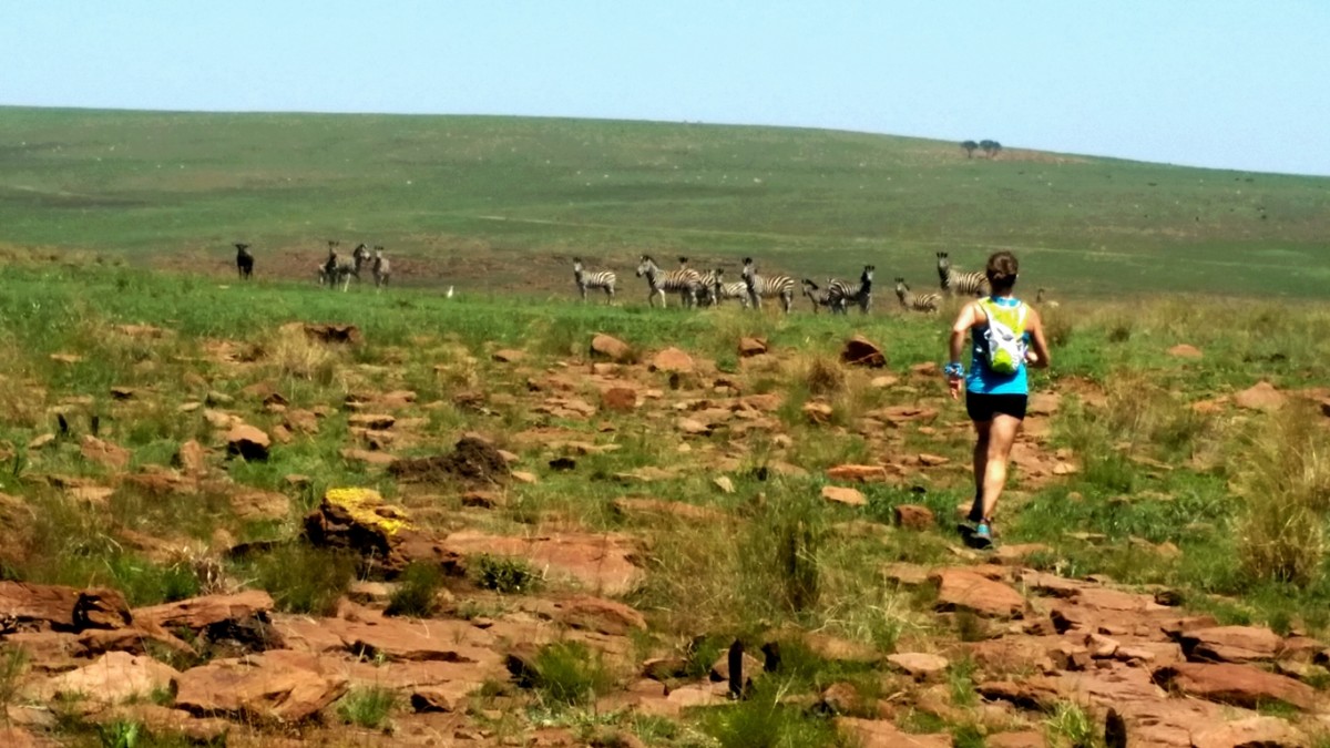
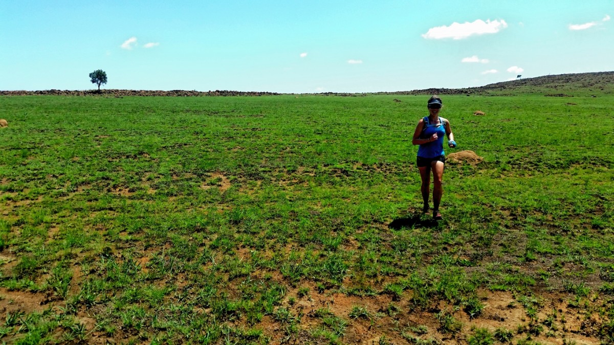
We started out doing the Protea trail in reverse. This makes it difficult to follow the trail markings but it was early summer and a fire had recently trimmed the landscape and it was fairly easy to either identify the trail or else just run across the short grass to wherever we wanted to go. A short climb up a rocky section lead to the top of a ridge, from where the grassy plains really just opened out below us. The luminous green grass, freshly risen from the burnt ashes of the previous season lay stretched out into a vast bowl of beauty, absolutely teeming with life. Substantial herds of numerous species grazed peacefully on the plains, with such abundance that with a little imagination it was somewhat reminiscent of the mass migrations I'd seen on TV. One of my favourite aspects of trail running is the flexibility and versatility of it, stemming from its simplicity. The liberating sense of being able to go wherever your feet can take you. Standing on this ridge we did not have to accept being passive observers confined to overlooking roads or trails, skirting along on the outside and looking in. We wanted to be fully immersed in that scene and with the gift of our functioning bodies, we could, and so we headed straight down into the bowl of life.
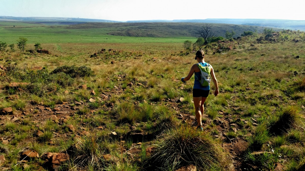
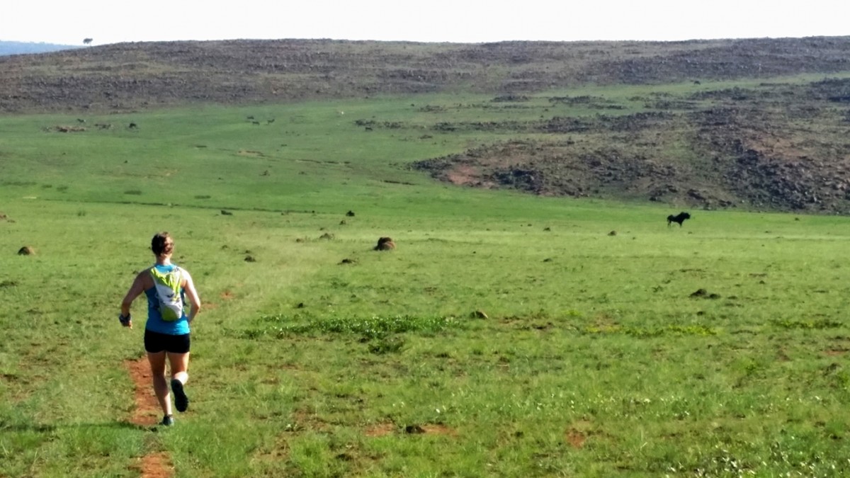
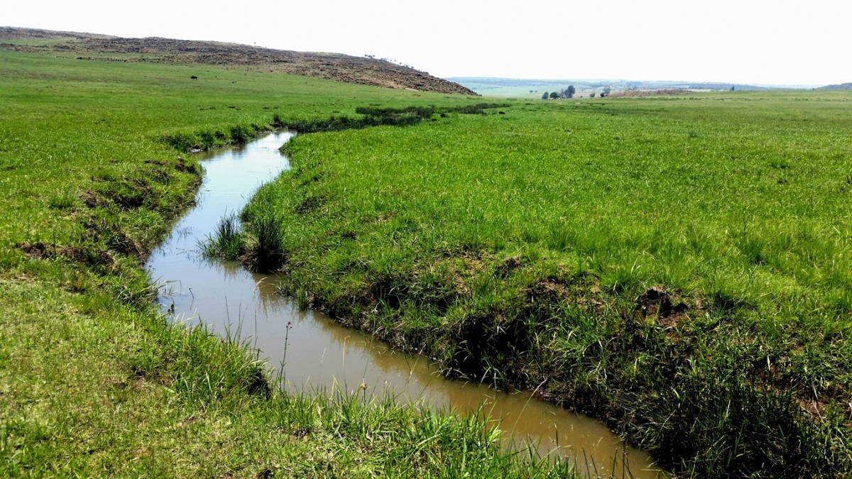
We followed the trail for a while before identifying a stream cutting through a gently sloping valley. A brief consultation with the map confirmed that following this stream would lead us in the general direction we intended to go. It was a breezy day which seemed to stir an electric energy into the wildlife that we encountered. Black wildebeest were charging playfully in circles as we passed and on adjacent plains we could see buck jostling with each other. The terrain varied from defined trails, to a vast network of thinly worn wildlife tracks, to just plain grass underfoot. In the entire time that we contoured along the stream, I don't think there was a single instant where there was not some wildlife within sight of us. We reached a point where the stream made a turn towards the Wilge River and though we were planning on coming back along the river, it was still too early to make our way that side and so we crossed the stream and headed up another gentle valley in the direction of some prominent ridges rising up from the plains.
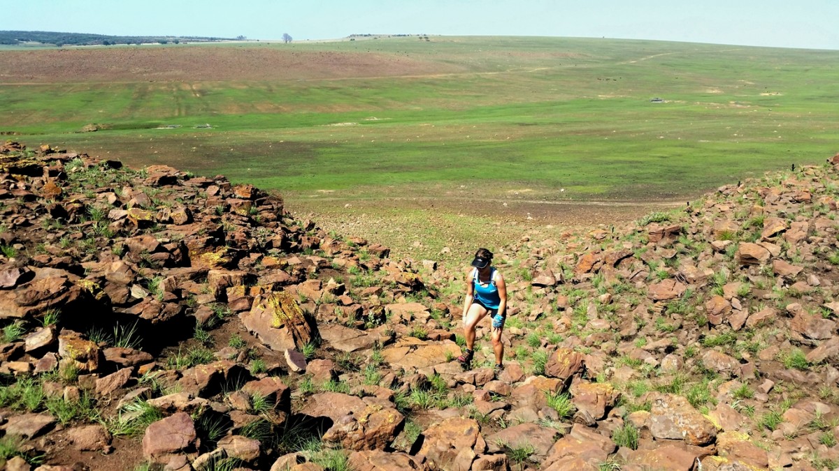
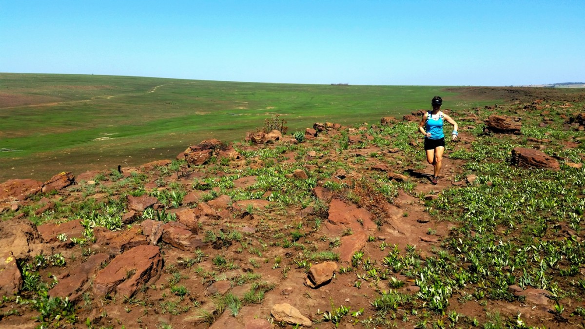
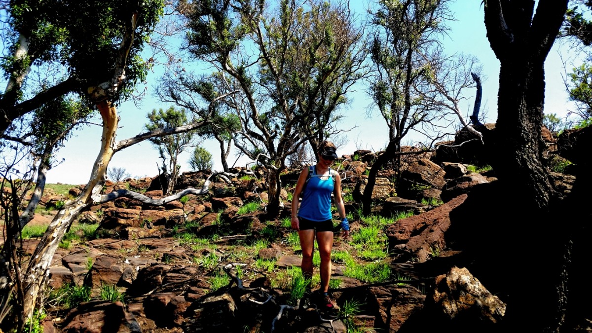
We found a gully that cut up into the ridge via a short but sharp rock scramble and from there, found ourselves reconnecting with one of the established trails. We followed the trail along the edge of the ridge for some time and then turned away towards the interior of the plateau. This was again very pleasant and free running, with short grass meaning there was no need to follow any trail. We simply gazed across the landscape, picked out a target and ran directly towards it, with various birds soaring in the skies around us. It was then that we noticed a white helicopter come into our airspace and touch down at a man-made structure built into the ridge across the Wilge River Valley. We had heard that the reserve was donated by the Oppenheimer Family, and that they still owned land around the reserve, and so we started to fantasise about this structure being their private luxury getaway in the cliffs overlooking the Wilge River, only accessible by helicopter, from where they sit and execute multi-million rand deals over the phone and before long we found ourselves speculating on what they were preparing for lunch and what guests they might be entertaining.
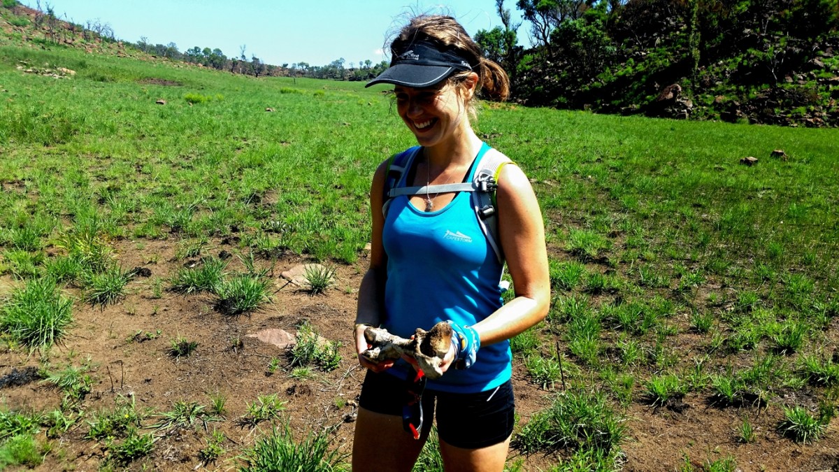
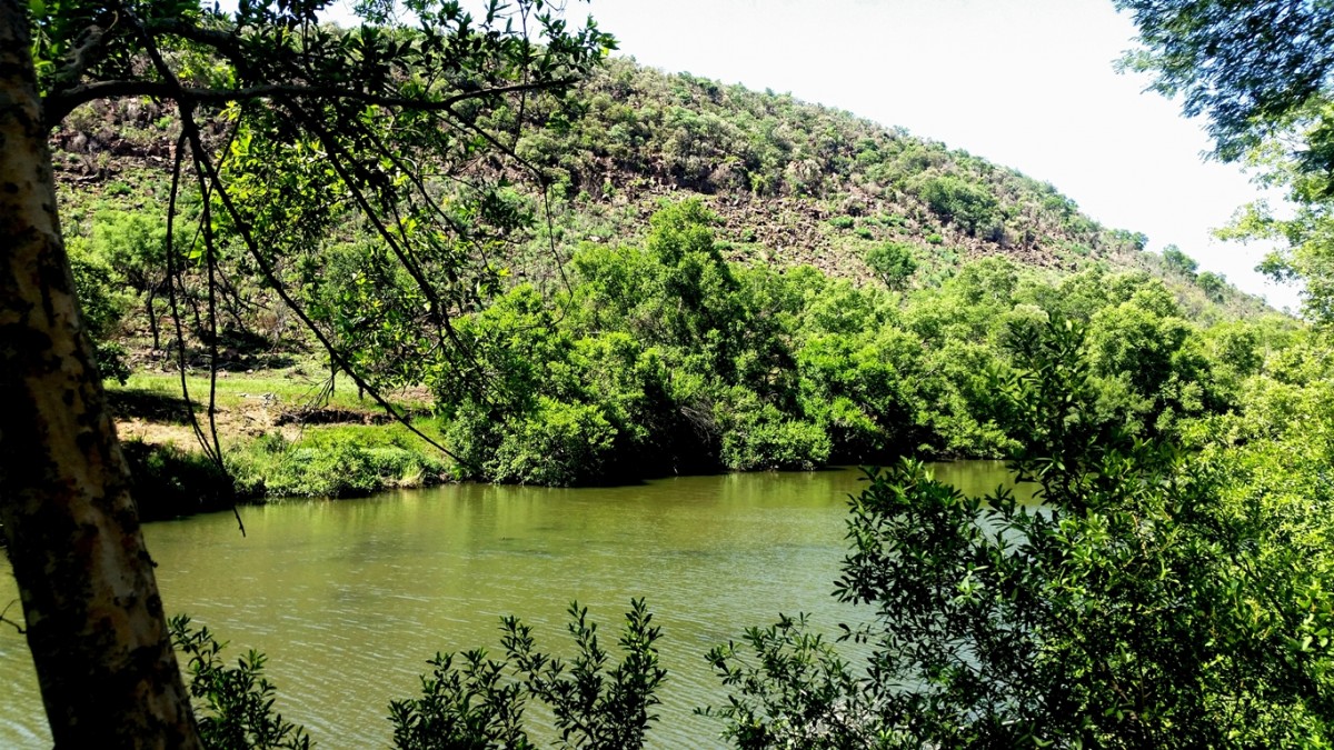
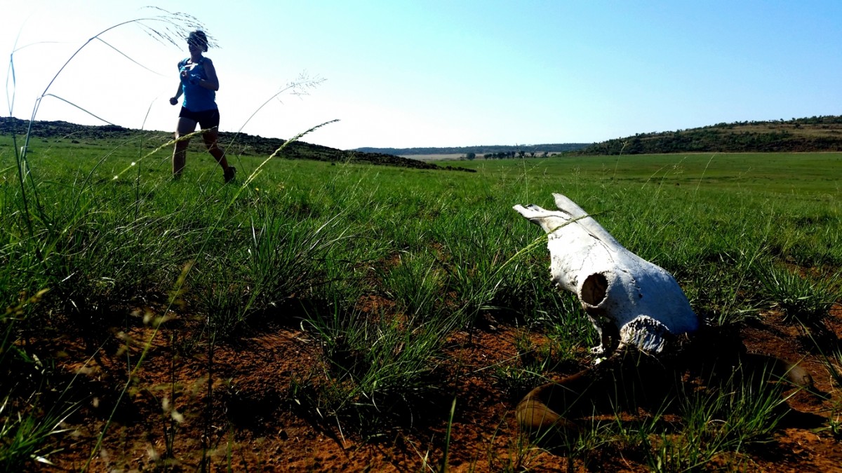
We reached the end of the plateau and had to plan our descent towards the river to begin the return leg of the journey. Again, we improvised a route down some rocky outcrops where we met with two warthogs that didn't stick around to find out what we were doing there, then came across the bones of a large carcass, which prompted us to wonder what predators might be roaming the reserve (I’ve subsequently read that there are rare sightings of leopard and hyena), before finally emerging on the banks of the Wilge River. There were no trails here and we had to navigate between some fairly dense vegetation along the Western bank of the river and the small cliffs that defined the river gorge.
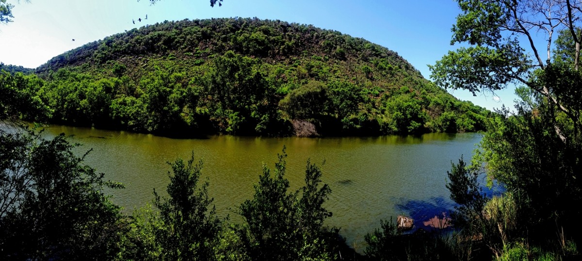
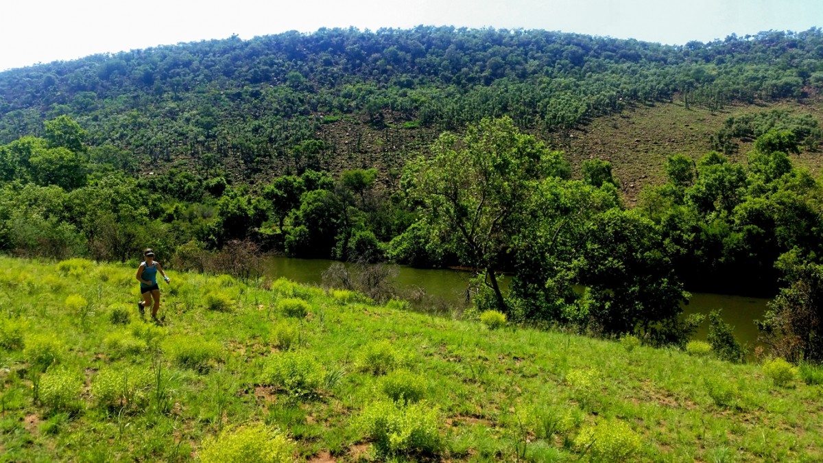
It was slow going, compounded by the flaring up of a foot injury and the fact that we were making frequent stops to photograph the river. We ultimately emerged South of the bluffs which form the entrance to the river gorge and from there were able to follow a direct line of sight across the plains over another small ridge and ultimately on through more herds of zebra and buck, back to the main camp where we rewarded ourselves with some refreshments from the shop before taking a slow and scenic game drive through the reserve to make our way to the exit.
It really was a spectacular morning out and while I think we were really fortunate with the time of year we went (early December - shortly after a fire had cleaned up the landscape and the first rains had fallen), I believe this must be a running or hiking paradise throughout the year. They even allow Horse Riding and Mountain biking so there is something for everyone. There are overnight facilities in the form of chalets or camping and even some hikers huts. We didn't carry out much of an inspection of the amenities but from what we did see, it seemed that everything was reasonably well maintained and serviced. This prompted us to conclude that the ideal way to get the most out of the reserve would be to enjoy a night there, having a braai and even going on a guided night game drive and then run or hike first thing in the morning. This way it’s not necessary to concern yourself with the gate opening times and the drive to the venue itself. You just wake up in this little gem of a reserve, kick on your shoes and trot off on your way. In addition to all the trail merits of the reserve, it is also a key resource for research projects being carried out (this we ultimately discovered was the reason for the closing of the Penduka trail) and so any support you give to the reserve by visiting it or staying there will contribute to a better understanding of efforts to conserve our beautiful natural world.
For more information, you can check out the website here:
http://www.ezemvelo.co.za/
GPS Co-ordinates of the main gate are as follows: S25.70827 E28.93005
There are occasionally events that take place at the reserve so keep your eyes out for those if you’d prefer to get acquainted with the venue that way.


